Most Australian schools will have returned to school by the week of Australia Day from our summer break. To save you some planning, this pack is ready to go for Year 4/5/6.
This pack gives you 58 pages of tasks that are so much more than just Australia Day tasks!
This unit provides opportunities to address outcomes for the Australian Curriculum as listed below.
There are recording pages that rely on research completed through reading books/websites or interviewing people.
There are recording pages that rely on research completed through reading books/websites or interviewing people.
The Word Wall template assists in building a vocabulary list to use in tasks.
The interactive pages enable kids to cut, glue and record information underneath.
KWHL – a colour and a b/w version
Interactive Notebook pages will help to manage information on these aspects of our history
a) Name the state/territory and give five facts for each
b) Cartographic Conventions – define
c) Facts, Celebrations, Traditions, words to describe
d) Impact of Europeans on Indigenous Australians
e) Impact of Europeans on the environment
f) Impact of Macassans on the environment
g) Impact of Convicts on Indigenous Australians
h) Impact of Convicts on the environment
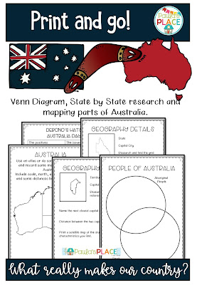
Mapping tasks - Use an atlas or do some internet research and record some mapping details about Australia. Include scale, north, a key, grid references and some distances between capital cities.
Geography details on each State of Territory – name the capital city, research and find the grid reference for the capital city, name the next closest capital city, record the distance between the two capital cities, print a satellite map of the state and name the characteristics you find.
Venn Diagrams – Indigenous Australians/Europeans, Aboriginal/ Torres Strait Islander
Writing Planners
a) Recount – How do I acknowledge Australia Day
b) Explanation – Why do we acknowledge Australia Day?
c) Exposition - Should we acknowledge Australia Day?
d) Food we eat on this day – recipes
e) Australian Slang
Famous Indigenous Australian – Graphic organiser and an Interactive Notebook page
Australian Curriculum - History
Year 4 - The nature of contact between Aboriginal people and/or Torres Strait Islanders and others, for example, the Macassans and the Europeans, and the effects of these interactions on, for example families and the environment (ACHHK080)
Year 5 - The nature of convict or colonial presence, including the factors that influenced patterns of development, aspects of the daily life of the inhabitants (including Aboriginal Peoples and Torres Strait Islander Peoples) and how the environment changed (ACHHK094)
Year 6 - The contribution of individuals and groups, including Aboriginal people and/or Torres Strait Islanders and migrants, to the development of Australian society, for example in areas such as the economy, education, science, the arts, sport.(ACHHK116)
Australian Curriculum - Geography
Year 4 - Represent the location of places and their features by constructing large-scale maps that conform to cartographic conventions including scale, legend, title and north point, and describe their location using simple grid references, compass direction and distance (ACHGS029)
Year 5 - Interpret geographical data and other information, using digital and spatial technologies as appropriate, and identify spatial distributions, patterns and trends, and infer relationships to draw conclusions (ACHGS037)
Year 6 - Collect and record relevant geographical data and information, using ethical protocols, from primary and secondary sources, for example, people, maps, plans, photographs, satellite images, statistical sources and reports (ACHGS041)


